- Datvisjvari Pass
- 2,676 m
- Shatili
- about 1,400 m
- Tbilisi to Shatili
- around 150 km
- By car from Tbilisi
- 3.5–4 h
- Snow cover
- 4–5 months
- Emergency
- 112
This page is part of the Georgia Travel Guide. Checked on 22 November 2026.
Where is Khevsureti, and what is Shatili?
Khevsureti is a historical and ethnographic region of eastern Georgia, in Dusheti Municipality and the Mtskheta-Mtianeti region. Shatili, a fortified tower settlement, lies in its northern half. Together with Barisakho, it is one of the region's two largest villages.
Two halves. The Datvisjvari Pass divides Piraketa Khevsureti in the south from Pirikita Khevsureti in the north. The road over it links the Aragvi Gorge with the Arghuni Gorge.
The national park. Shatili, Mutso, Ardoti and Khakhabo are among the medieval cultural heritage of Pshav-Khevsureti National Park.
How to get to Shatili: the road over the Datvisjvari Pass
One road leads in, over the pass. The trip from Tbilisi is around 150 km and takes about 3.5–4 hours by car.
The route. On the Georgian Military Road, turn right near Zhinvali village and head north past the reservoir below Ananuri Fortress, then the ancient village of Barisakho, and keep climbing. The national park's directions follow the same route.
The vehicle. The national park's visitor guide says: "Visiting these territories is possible only by off-road vehicle." We found no vehicle requirements for the road itself on the park's pages.
One road. The entire settlement is "linked to the outside world by only one narrow road", the tourism administration notes. Make sure your vehicle is suitable for off-road driving. In the mountains in winter, you must have winter tyres or chains.
Road restrictions. Check the Roads Department of Georgia restrictions page on the day you set off.
By marshrutka. A seasonal marshrutka runs twice a week from Didube bus station in the capital, and the journey takes about 5 hours. It "is usually unavailable in late autumn and winter, so be sure to check the schedule in advance". See Didube: where many minibuses leave from and Motion sickness on mountain roads.
Stay the night. The tourism administration recommends sleeping there "rather than attempt the long drive back to Tbilisi".
Our tip. Leave in the morning and cross the pass in daylight. Fill the tank and take out cash before you leave the main road. More in Night driving, mountains and winter.
Shatili weather: fog, long winters and snow
Expect long, cold winters and short, cool summers. In the northern half, Pirikita, average winter temperatures range from −12 °C to −18 °C. In Khevsureti, snow cover typically lasts 4–5 months.
Visibility. The tourism administration warns: "Traveling by car can be dangerous, as fog is frequent, especially in the colder months, and visibility can drop suddenly."
When roads close. Heavy rain, flooding and snow higher up can make roads difficult or impossible, particularly in remote areas. In summer, lightning and wildfires are a risk in the mountains. Read about mountain roads in winter.

How high is the Datvisjvari Pass? Altitude and how you feel
The pass is 2,676 m above sea level; the settlement on the far side is at approximately 1,400 m.
Where the risk starts. TravelHealthPro says altitude illness may occur in people climbing rapidly to high ground, "usually above 2,500m". It rates the risk by where you spend the night: its figures "correspond to sleeping altitude". Symptoms typically start 6–10 hours after going that high.
What it means here. You drive over the top and sleep far lower. Hikes go higher: the Abudelauri Lakes lie at 2,600 m. TravelHealthPro's key to prevention is gradual ascent with regular rest days.
Our tip. If you get a headache or feel dizzy on the way up, tell the driver. See the signs of altitude sickness and what to do and, before a trek, Hiking in Georgia.

Shatili: the tower village near the Chechen border
The tourism administration calls it "more of a large medieval fortress than a village": around 60 towers connected by narrow streets and passages. It stands in the deep Arghuni (Argun) Gorge at approximately 1,400 m. It was submitted to UNESCO's Tentative List on 24 October 2007.
Anatori. The Anatori crypt complex near Shatili holds tombs from the 11th–15th centuries.
Mutso fortress
Mutso village in Khevsureti is another fortified settlement: four of its defence towers survive, and intense restoration work was carried out recently. It has been a monument of national significance since 2006 and lies 165 km from the capital.
Khevsur food
Unlike most Georgians, the Khevsurs do not eat pork; they mainly eat beef and lamb.
Our tip. As a guest, ask your host what they eat.
Roshka and the Abudelauri Lakes
Roshka is the village where the hike to the lakes usually starts. It is 119 km and about 3 hours from Tbilisi, with the Roshka Rocks natural monument nearby at 2,067 m; you can stay overnight in Roshka and Barisakho.
The lakes. Three colourful lakes lie in the Abudelauri Valley at 2,600 m. The Blue Lake and the Green Lake are close to each other, about 7 km from Roshka. The White Lake is further away, "at the base of Chaukhi Mountain, and requires more hiking experience".
On the trail. Trails are not always marked, and the weather can change rapidly.
Sheepdogs on the trail
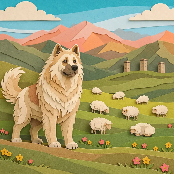
Keep away from flocks when you are on foot: almost all of them are guarded by a Caucasian sheepdog. If a dog bites or scratches you, get medical attention immediately.
Our tip. Give flocks a wide berth and do not run. Read Rabies in Georgia before the trip.
The Omalo–Shatili trek and related guides
The route from Omalo ends here and is one of Georgia's "most famous (and longest) trekking routes". Start with the Tusheti guide and Border lines and when to take a guide. For the Juta valley, see our Kazbegi guide.
Shatili and the border with Chechnya
The village lies near the border. The Government of Canada says: "Georgian authorities only recognize the Kazbegi-Verkhnii Lars border crossing with Russia." It also warns: "If you cross into Georgia through an unofficial border crossing with Russia, you could face heavy fines or jail sentences."
Permits. We found no official page on whether you need a permit to drive here. Ask your host before you set off.
Areas to avoid elsewhere in Georgia: Where not to go.
Cash, food and what to bring
Bring money and supplies with you. Outside major towns you may not find ATMs or be able to pay by card, so take enough cash in lari. No official page we checked lists pharmacies or shops in the villages.
What the park asks. Wear coarse trousers and high-top shoes, such as boots, and take food and water to the field.
Our tip. Bring your regular medicines for the whole trip, a small first-aid kit and food for an extra day of bad weather. See money in the mountains and villages.
Phone signal
We found no official data on mobile coverage along the road or in the settlements.
Our tip. Tell your host your route and return time, and save the emergency number and theirs before you leave the main road.

Medical help in Khevsureti: 112 and where to find a doctor
The UK health advice says: "Dial 112 and ask for an ambulance." The same number appears in the national park's visitor guide. What to say: What to tell the operator.
Help is far away. The UK safety advice warns: "If you get into trouble during hiking, skiing, adventure travel or extreme sports, the emergency response may be limited." Outside the capital, medical facilities are limited. In rural areas supplies and staff run short, first responders may not reach you, and staff may not speak English.
Snakes. Vipers are a risk in early summer, and few facilities outside major towns have anti-venom.
Where to find a doctor. There is no official list of clinics in Khevsureti that we could find. The nearest catalogue we can point to covers the capital, around 150 km away. It is the catalogue of doctors and clinics in Tbilisi on 100doc.ge.
Your cover. Most visitors need health and accident cover for their stay: see Insurance to enter Georgia. If a life is at risk, call the emergency number first; do not wait for the insurer.
Frequently asked questions
How do I get to Shatili from Tbilisi?
Is the road to Shatili open in winter?
How high is the Datvisjvari Pass, and can I get altitude sickness?
Is Mutso fortress near Shatili?
Do I need a permit to visit Shatili?
Sources
- Wikipedia: Khevsureti (secondary source) ↑
- UNESCO World Heritage Centre: Tentative List, Shatili ↑
- Georgian National Tourism Administration: Khevsureti ↑
- Georgian National Tourism Administration: the most beautiful road passes of Georgia ↑
- National Parks of Georgia: Pshav-Khevsureti visitor guide ↑
- GOV.UK travel advice for Georgia: safety and security ↑
- GOV.UK travel advice for Georgia: health ↑
- National Parks of Georgia: Pshav-Khevsureti National Park ↑
- Georgian National Tourism Administration: Shatili ↑
- National Parks of Georgia: Pshav-Khevsureti, how to get there ↑
- Government of Canada: travel advice for Georgia ↑
- Roads Department of Georgia: road restrictions ↑
- TravelHealthPro: altitude illness ↑
- National Agency for Cultural Heritage Preservation of Georgia: Mutso (Best in Heritage presentation) ↑
- Georgian Heritage Sites: Mutso museum-reserve (in Georgian) ↑
This guide is general information, not medical advice: the doctor decides on your care.